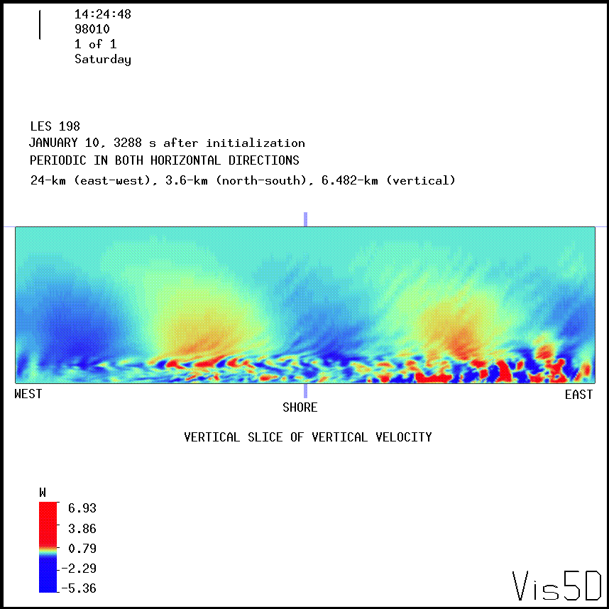
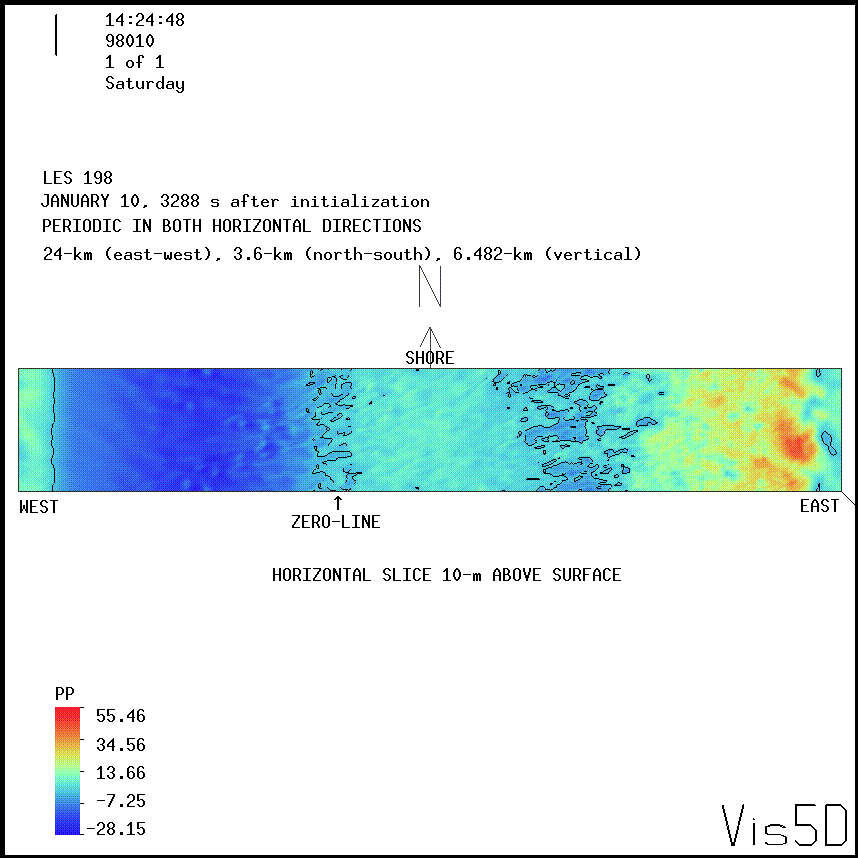
Large-Eddy Simulation #198: (IBL)
LES RUN #198: This was the second attempt to simulate the
TIBL on 10 January 1998. This simulation differs from #197
in three main ways. First, the vertical resolution is stretched
above 1200 m in order to reach up to 6.5 km.
Second, IVSCALE=IHSCALE=1 (in LES#197 IVSCALE=6, IHSCALE=3).
Third, VDKR=HDKR=0.1 (in LES#197 VDKR=HDKR=0.2).
Click here
to see the NMSTASK file of LES #198.
The following images show vertical velocity on a vertical slice;
pressure perturbation on a vertical slice; and pressure
perturbation on a horizontal slice 10-m above the surface.


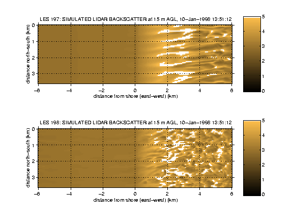
The following is an animation to compare the coherent
structures generated in the surface layer in simulations
#197 and #198.

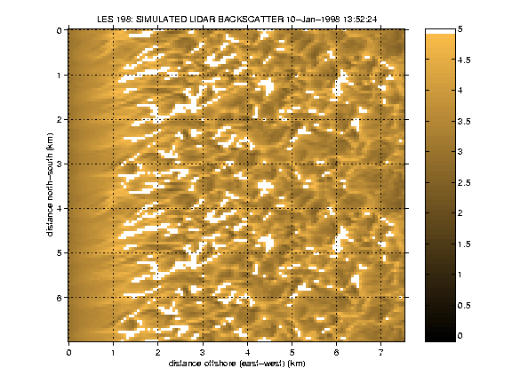
The following is a horizontal slice through the bottom of the
model domain (15 m above the surface) over the water only.
The output has been folded over once in the
north-south direction to help your eye follow coherent structures
across the domain. This is an east-west subset of the model domain.
The entire domain spans from 12-km west of the shore to 12-km
east of the shore.

UW Lidar // July 24, 2000 // root@lidar.ssec.wisc.edu
Return to the
 Index
Index