|
|

Photographs
|
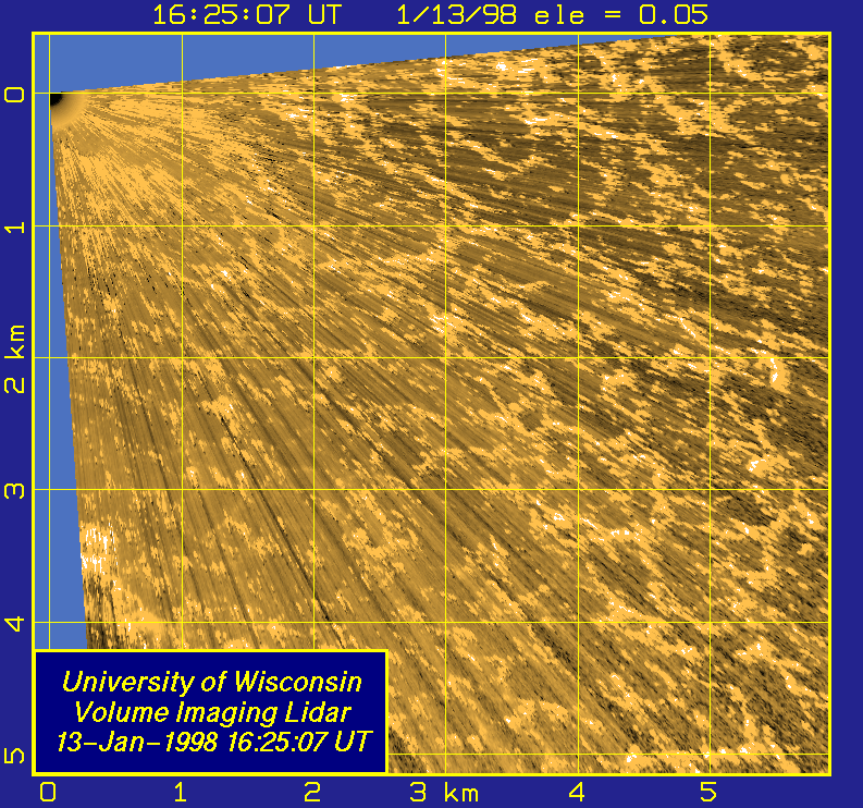
1
|
1/13/98 PPI scans from 16:25-16:30 UTC.


|
2
|
1/13/98 RHI Scans from 16:44-17:00 UTC.
|
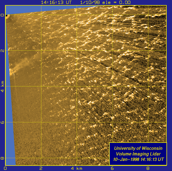
3
|
1/10/98 PPI Scans from 14:16-14:57 UTC.
|
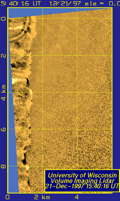
4
|
12/21/97
PPI scans recorded between 1524 and 1630 UTC.
The data has been processed using a median high-pass filter. The
land breeze and onshore-flow strurtures can now be viewed simultaneously.

|
5
|
12/21/97 PPI scans at an elevation angle of 0.06 degrees recorded
between 1524 and 1646 UTC.
An image area of 7 km (N-S) by 10 km (E-W) is shown.

|
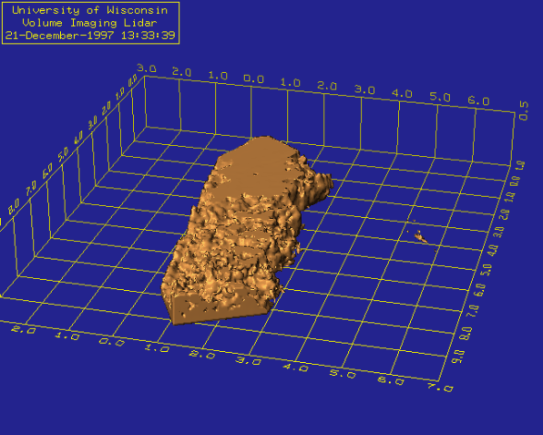
6
|
12/21/97 MPEG movie of a 3-dimensional rendered view of the land breeze
front taken from VIL volume scans between 13:18-15:20 UTC. Note:
The lidar site is loacted a (0-0) on the grid, this is at the top
left corner of the land breeze volume.

|
7
|
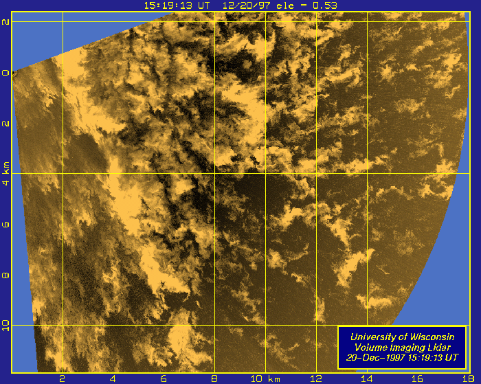
12/20/97PPI Scans recorded betweem 1518 and 1638 UTC.
A nearly horizontal scan a few meters above the lake surface is
shown. Extremely light snow is falling into the surface layer.

|